New paper on the 1948 Aşgabat earthquake in Türkmenistan
In a new paper we describe the fault system responsible for the 1948 Aşgabat earthquake in Turkmenistan with a magnitude of Ms7.3.
Published:

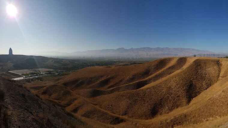
Research team of the 2018 Türkmenistan Expedition
Image: Christoph GrütznerThe 1948 earthquake in Aşgabat, Turkmenistan, reached a magnitude of Ms7.3 and claimed tens of thousands of lives. Until now, however, comparatively little was known about the fault that caused the earthquake. In a new study, we show that a complex fault system ruptured around the capital of Turkmenistan in 1948. We combined data from historical seismograms with a new method for relocalizing regional earthquakes and can thus calculate a reliable focal mechanism. We used modern remote sensing data and historical satellite imagery from the 1960s to map surface ruptures caused by the earthquake and to analyze the geomorphology of the fault system. We found that parts of the fault system did not move in 1948 and, therefore, probably still store strain. Using luminescence dating on uplifted terraces, we were able to determine a vertical movement rate of the fault of 0.6 mm/year.
The study was published in the Geophysical Journal International:
Marshall, N., Ou, Q., Begenjev, G., Bergman, E., Bezmenov, Y., Dodds, N., Gruetzner, C., Hudson, T., Pierce, I., Mirzin, R., Rhodes, E. , Walker, R. T., & Wordsworth, P. (2023). Seismotectonic aspects of the Ms 7.3 1948 October 5th Aşgabat (Ashgabat) earthquake, Türkmenistan: right-lateral rupture across multiple fault segments, and continuing urban hazardExternal link. Geophysical Journal International, ggad488. https://doi.org/10.1093/gji/ggad488.